
Using Geospatial Data Analysis to Expand Healthcare Access in Lao PDR
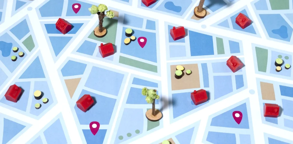
Photo: Freepik.
Achieving universal healthcare coverage (UHC) requires greatly expanding access to quality healthcare, especially in rural and remote areas. In Lao PDR, geospatial data and technologies are utilized to enhance primary healthcare services for all.
Geospatial Data in Health
Technological advancements have enabled us to learn much about the state of our society and environment. One example is geospatial data, which is obtained through satellite imagery, cell phone data, and weather information. These data have been known to support environmental management, biodiversity monitoring, and disaster preparedness.
In the health sector, these data also play a vital role in providing key health data to support related programs, planning, and decision-making processes. The World Health Organization has been utilizing the Geographic Information System (GIS), a computer system that analyzes and maps geospatial data, to examine risk factor patterns and distribution, identify, prevent, and control diseases, and improve the impacts of public health interventions.
Lao PDR’s Health Reforms
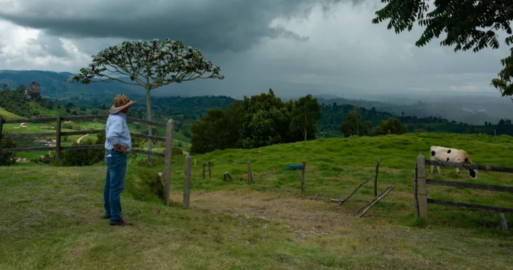
One example of geospatial data deployment in healthcare comes from Lao PDR. While the country has progressed in expanding healthcare access, gaps remain between the urban and rural populations. For instance, maternal and child health in rural areas struggle with poor diets and inadequate human resources in the healthcare system.
To tackle this, the government has implemented a nationwide intervention under the Health Sector Reform 2021-2030. One goal is expanding access to primary healthcare services, which bring essential services for health and wellbeing closer to communities. With the support of the WHO, Lao PDR has been utilizing geospatial data and technology to gather, analyze, and map data on demographic and socio-economic status, health facility locations, health services usage, and human resources available for health.
In the beginning, a pilot project was implemented in two provinces to identify key data to determine which health facilities need investment, closure, or repurposing. The data is also used to plan and redistribute health workers to the necessary facilities. Next, workshops and training were conducted to guide officers across 17 provinces in further analysis and consultations of the findings.
Besides the direct health data, geospatial data and technologies can also be used to identify infrastructure barriers, such as road networks and bodies of water, that hinder access to health facilities.
“Lao PDR will be using geospatial analysis to drive decision-making about where to improve and invest in primary health services across the country,” said Dr. Bounserth Keoprasith, Director General of the Department of Planning and Finance at the Ministry of Health for Lao PDR. “It means we can be more strategic and precise about better supporting those communities who need health services the most, leading us purposefully along the path to achieve universal health coverage.”
Healthcare for All
Universal healthcare coverage is included in Sustainable Development Goals Target 3.8. Therefore, responsible technology development, utilization, and deployment can provide crucial support for achieving this goal. Participation, cooperation, and collaboration between governments, businesses, and civil society are central to this.

Kresentia Madina
Madina is the Assistant Manager of Stakeholder Engagement at Green Network Asia. She holds a bachelor’s degree in English Studies from Universitas Indonesia. As part of the GNA In-House Team, she supports the organization's multi-stakeholder engagement across international organizations, governments, businesses, civil society, and grassroots communities through digital publications, events, capacity building, and research.
 Farmer Loneliness, the Overlooked Mental Health Crisis Within the Food System
  Conservation Paradox: Managing the Overabundance of Endangered Koalas in South Australia
  Green Burnout: Sustainability Workers and Climate Activists Are Quietly Falling Apart
  The Warning Signals of Climate Change
  How Land Use and Climate Change Shape the Increasingly Precarious Balance of Global Deadwood Stocks
  The Injustice of Climate Finance: How Climate Change Is Draining Developing Nations