
Mapping a Greener Future: How EOS Data Analytics Contributes To Asia’s Environmental Conservation Efforts
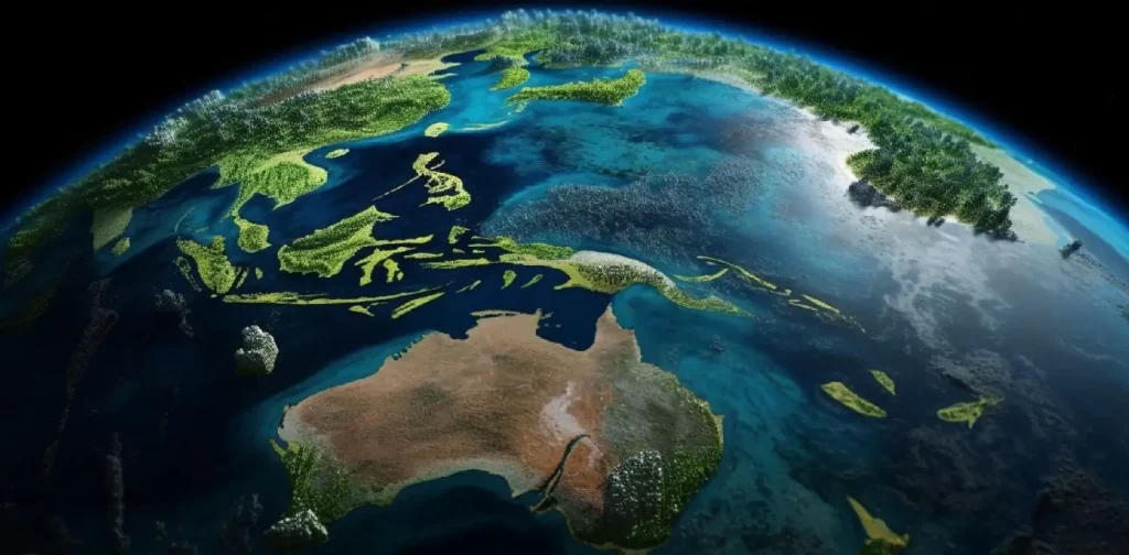
Photo: Freepik.
Being a region with diverse ecosystems and rich natural resources, Asia cannot avoid facing significant environmental challenges. The most threatening to the region’s ecological balance are deforestation, loss of biodiversity, and natural resource depletion. Addressing these challenges with traditional practices alone is no longer an option, since the severity and scale of these issues call for innovative technological solutions.
One of the most effective options is geospatial data analysis based on satellite imagery of Earth. Space data is an invaluable source of both current and historical information, which helps to anticipate such highly unpredictable factors as weather, crop yields, and extreme climate conditions. Asian government organizations and businesses that strive to make informed decisions whenever possible can use this data for various purposes. However, finding satellite data is not an issue — extracting accurate and valuable insights is where it gets complicated. Fortunately, today’s geospatial data analytics market offers solutions just for that.
One of the companies that leverages satellite imagery and geospatial data to provide valuable insights into environmental conditions and changes in Asia and globally is EOS Data Analytics. Let’s zoom in on how exactly that works and across what domains.
Sustainable Agriculture Development with EOS Data Analytics
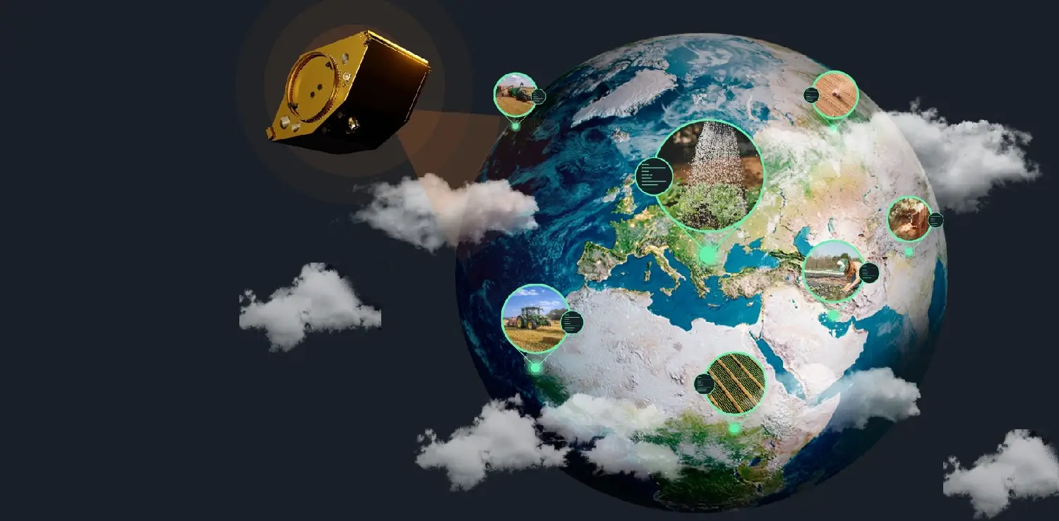
The efficient management of natural resources is fundamental for the sustainability of Asia’s agricultural sector. EOS Data Analytics assists in monitoring the state of crops, managing water resources, soil quality, and other essential farming parameters. Armed with this data, growers and agricultural organizations can implement sustainable farming practices that enable resources conservation and environmental impact minimization. Additionally, satellite imagery can be used to evaluate the impact of climate change on agriculture, helping to develop adaptive strategies for the current and upcoming challenges.
When it comes to geospatial data analysis in agriculture, the company has a special solution to offer — EOSDA Crop Monitoring online platform. Developed for precision farming, the tool assists agricultural businesses in optimizing operations and achieving sustainability by providing a comprehensive solution to common challenges faced by farmers.
Popular features include weather data: current, historical dating back to 1979, and 14-day forecasts. The platform also provides vegetation indices values, such as NDVI for assessing crop health, and NDMI for detecting water stress levels. These and other features enable farmers to make informed decisions that enhance yield and profitability, while also facilitating the efficient organization of daily tasks and optimal application of inputs.
Global Textile, a group of companies from Uzbekistan, overcame challenges in managing its 12,341 hectares of cotton fields by adopting the EOSDA Crop Monitoring platform. The platform has provided valuable data on crop development, soil fertilizer content, and yield forecasts, allowing agronomists to analyze fields in 10-15 minutes, a task that previously took a full day. The targeted inspections and Zoning feature facilitated cost-effective fertilizer application, thereby improving soil health. Consequently, the implementation of EOSDA Crop Monitoring significantly boosted the efficiency and productivity of Global Textile’s cotton production.
Deforestation Monitoring and Afforestation Tracking
Deforestation is a major concern in Asia, with significant portions of its rainforests being cleared for agriculture, logging, and urban development. EOS Data Analytics helps in monitoring deforestation by providing real-time data on forest cover and changes over time. Based on this information, local governments and conservation organizations can implement effective forest management strategies and take necessary actions to prevent illegal logging and land clearance. All of that is possible thanks to the company’s EOSDA Forest Monitoring platform, which also assists users in ensuring successful afforestation.
The platform’s Tree Species feature helps identify the most suitable tree species for a specific area, ensuring a positive impact on forest fauna and microbiota. Additionally, the Reforestation tool can be used for both afforestation and reforestation activities. It enables tracking forest restoration efforts using historical satellite imagery and spatial analysis data, providing a comprehensive overview of cleared and replanted forest stands.
EOS Data Analytics for Natural Disaster Management
Satellite-based Earth observations provide much-needed insights during natural disasters when ground access is limited. Local authorities and first responders can utilize satellite images to prioritize rescue efforts, allocate aid, and assess damage over large areas. Let’s see how that works in a real case.
Rapid snowmelt in early spring causes significant floods in Northern Kazakhstan, impacting communities and agriculture. In March 2023, a natural emergency was declared due to these floods, despite preventative measures such as dam building. EOS Data Analytics, in line with the UN’s Sustainable Development Goals, developed a custom machine-learning model to predict and monitor flood threats. The model, using historical data and meteorological predictors, achieved over 90% accuracy in predicting flood onset and affected areas, also considering snowmelt probability. This innovative approach not only mitigated flood impacts but also highlighted the potential of machine learning in addressing global climate challenges.
Protection of Biodiversity and Endangered Species
EOS Data Analytics utilizes geospatial data analytics to play a crucial role in protecting biodiversity and endangered species in Asia. Through the identification and mapping of critical habitats, conservationists can target their efforts to preserve these vital areas. Moreover, satellite imagery aids in monitoring the movements and populations of endangered species, supplying essential data to support conservation programs and safeguard Asia’s unique wildlife.
Evidently, EOS Data Analytics is one of the geospatial data analysis companies that are at the forefront of environmental conservation efforts in Asia, providing accurate and timely data through cutting-edge satellite imaging and geospatial analysis. This empowers stakeholders to make informed decisions that promote ecological sustainability and contribute to a greener future for the region. As technology continues to evolve, the collaboration between EOS Data Analytics, government entities, NGOs, and local communities will be paramount in addressing environmental challenges faced by Asia.
Co-create positive impact for people and the planet.
Amidst today’s increasingly complex global challenges, equipping yourself, team, and communities with interdisciplinary and cross-sectoral insights on sustainability-related issues and sustainable development is no longer optional — it is a strategic necessity to stay ahead and stay relevant.
 Agrihoods: Integrating Farms and Urban Neighborhoods into Sustainable Communities
  Women in Waste Management: Asia’s Circularity Runs on Women. Its Policies Still Don’t
  Embracing the Business Value of Sustainability
  American Farmers Call for Government Support Amidst PFAS Contamination
  Asia Pacific’s SDG Progress Faces Major Setbacks
  Exploring the Bidirectional Relationship Between Olympic Games and the Environment